About Texas GPS Nautical Charts Pro
Download for free Atlas and get hundreds of extra-detailed charts of your favorite areas in one single app. Search and try now : Atlas Nautical Charts by Mapitech MapiTech launches on the market the best official...
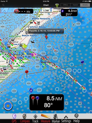
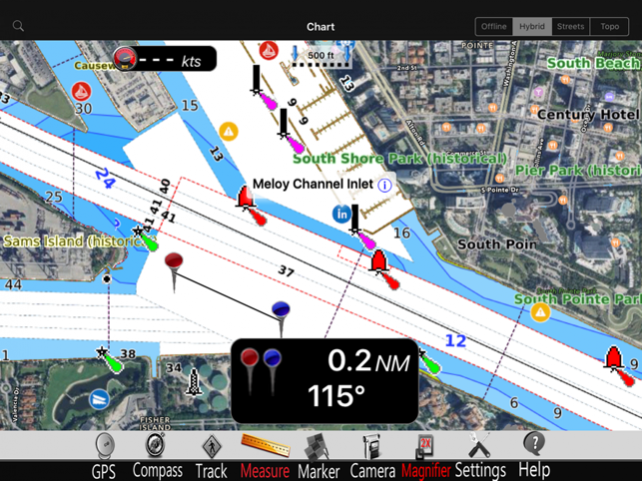
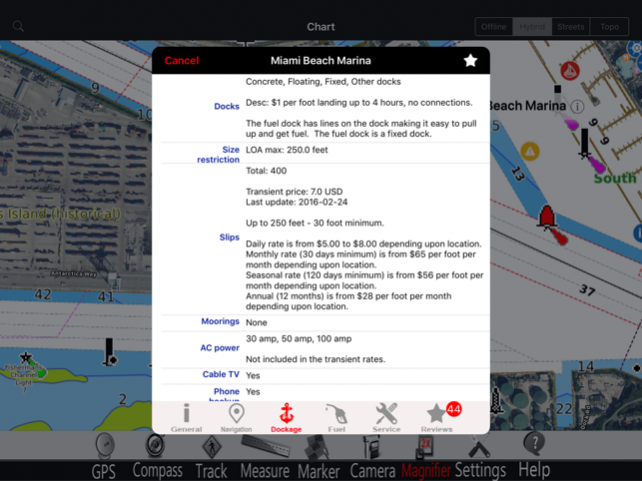
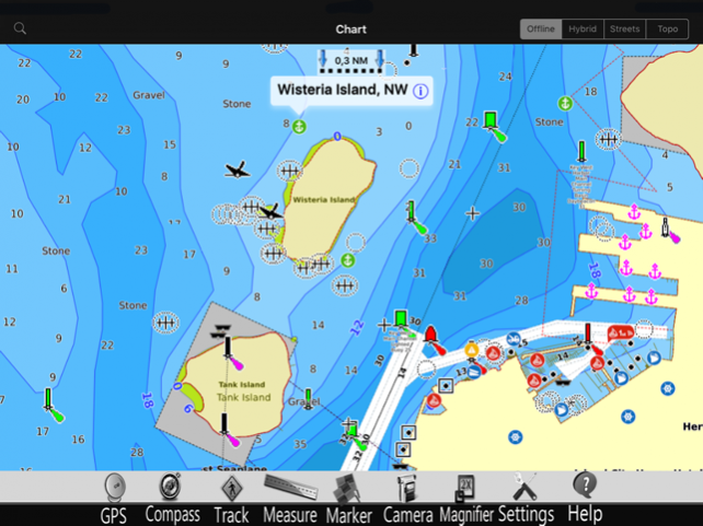
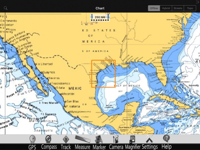
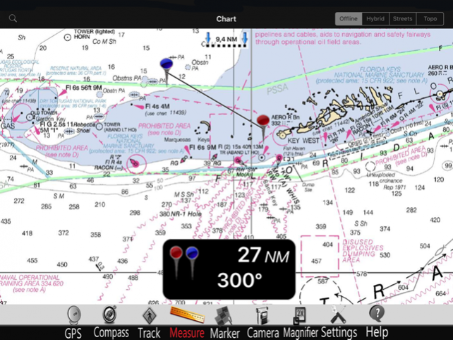
Download for free Atlas and get hundreds of extra-detailed charts of your favorite areas in one single app. Search and try now : Atlas Nautical Charts by Mapitech MapiTech launches on the market the best official up-to-date NOAA RNC (raster) combined with S57 nautical charts (digital): marinas, wrecks, fishing spots, boat ramps, POI. This app displays seamlessly the beauty of NOAA paper charts, a "look and feel" experience combined with S57 data. You will be impressed how appealing the raster charts look, how easily you pan and zoom and ..there's much more you will like about Mapitech App. The interactive menu is very intuitive, the maps are downloaded to the device itself, it works in OFFLINE mode. No need of Internet connection. Chart details and performances of a professional GPS chart plotter at a minimal cost. At glance: •It works without mobile coverage (OFFLINE) •Powerful search •Multiple overlays for different use (fishing, sailing or cruising) •ActiveCaptain community integration •KML data shareable •Very detailed and updated charts •Waypoints •Markers & Favorites •Multiple tracks: Record your track, instant speed time, COG - course over ground •Geo - tagged photo management •Distance measure •Compass •GPS window with very detailed info •User friendly on latest iOS ▶ What’s New : Topo Overlay added Improved Compass Enhanced Navigation Window Join the Captain community of 100.000+ boaters who write review and provide updated hazard info. Must have for all boaters! Continued use of GPS running in background can decrease battery life. This only applies if background recording is enabled.
Jan 13, 2018 Version 5.0 Chart update
Previous Versions
Here you can find the changelog of Texas GPS Nautical Charts Pro since it was posted on our website on 2016-10-14 16:21:28.
The latest version is 5.0 and it was updated on 2024-04-19 21:13:17. See below the changes in each version.
Texas GPS Nautical Charts Pro version 5.0
Updated At: 2018-01-13
Changes: Jan 13, 2018 Version 5.0
Chart update
Texas GPS Nautical Charts Pro version 2.1
Updated At: 2014-03-21
Texas GPS Nautical Charts Pro version 5.0
Updated At: 1970-01-01
Changes: 2018年1月13日 Version 5.0
Chart update
Texas GPS Nautical Charts Pro version 5.0
Updated At: 1970-01-01
Changes: 13 sty 2018 Version 5.0
Chart update
Texas GPS Nautical Charts Pro version 5.0
Updated At: 1970-01-01
Changes: 13 de jan de 2018 Version 5.0
Chart update
Disclaimer
Official App Store Link
We do not host Texas GPS Nautical Charts Pro on our servers. We did not scan it for viruses, adware, spyware or other type of malware. This app is hosted by Apple and passed their terms and conditions to be listed there. We recommend caution when installing it.
The App Store link for Texas GPS Nautical Charts Pro is provided to you by apps112.com without any warranties, representations or guarantees of any kind, so access it at your own risk.
If you have questions regarding this particular app contact the publisher directly. For questions about the functionalities of apps112.com contact us.